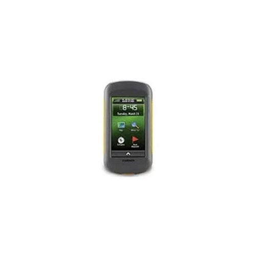
GARMIN Montana 700 GPS

GARMIN Montana 700 GPS

GARMIN Montana 700 GPS Specification

  • Features
  • Wireless Connectivity, TopoActive Maps, Rugged/Waterproof IPX7, Custom Routing
  • Weight
  • 397 g (with batteries)
  • Usage & Applications
  • Hiking, Hunting, Biking, Geocaching, Off-road Navigation
  • Memory Size
  • 16 GB internal; expandable with microSD card (up to 32 GB supported)
  • Interface Type
  • USB, Wi-Fi, Bluetooth
  • Type
  • Handheld GPS Device
  • Usage
  • Outdoor Adventure, Hiking, Off-road Navigation
  • Function
  • Handheld Navigation, Mapping, Tracking, Waypoint Management
  • Dimensions
  • 3.6 x 7.2 x 1.3 (9.19 x 18.32 x 3.28 cm)
  • Network
  • GPS, GLONASS & Galileo
  • GPS Accuracy
  • Within 3-5 meters under clear sky
  • GPS Sensitivity
  • High-sensitivity GPS and GLONASS reception
  • Battery Backup
  • Up to 18 hours (Lithium-ion rechargeable) / Up to 22 hours (AA batteries)
  • Display
  • 5-inch transflective WVGA color touchscreen (480 x 800 pixels)
  • Frequency
  • Multi-band GNSS support
  • Camera
  • No
  • Waypoints
  • 10,000
  • Battery Life (Expedition Mode)
  • Up to 330 hours
  • Compass
  • 3-axis electronic compass
  • Temperature Range
  • -20°C to 55°C (-4°F to 131°F)
  • External Antenna Support
  • Via MCX connector
  • Preloaded Maps
  • TopoActive Europe (or North America, region dependent)
  • Tracklog
  • 20,000 points, 250 saved tracks
  • Barometric Altimeter
  • Yes
  • Wireless Communication
  • ANT+, Bluetooth, Wi-Fi
  • Routes
  • 250
  • Trip Computer
  • Yes
  • Waterproof Rating
  • IPX7
  • Battery Type
  • Rechargeable lithium-ion or 3 AA batteries
  • Display Type
  • Transflective color touchscreen
  • Custom Mapping
  • Supports BirdsEye Satellite Imagery (subscription required)


About GARMIN Montana 700 GPS


Grab Yours and explore unassailable terrains with the GARMIN Montana 700 GPS. This kingly device features a large 5-inch transflective color touchscreen, making it a true spotlight among handheld navigators. Boasting laureate specs including TopoActive mapping, high-sensitivity GPS/GLONASS/Galileo, and a 3-axis electronic compass, this rugged GPS offers unrivaled accuracy and versatility. Its robust IPX7 waterproof rating, extended battery life, and dual battery support ensure seamless operation on your longest expeditions. Perfect for hiking, off-road navigation, geocaching, and more, the Montana 700 elevates every outdoor adventure with confidence.

Feature-Packed GPS for Versatile Outdoor Adventures

The GARMIN Montana 700 GPS showcases a comprehensive feature set, including high-precision navigation via GPS, GLONASS, and Galileo, along with a 3-axis electronic compass and barometric altimeter. With up to 10,000 waypoints, custom mapping, and wireless connectivity, it's tailored for explorers, hikers, bikers, and hunters. Its rugged, waterproof build and multi-battery options make it indispensable for outdoor adventure, navigation, tracking, and geocaching.


Efficient Supply, Export, and Order Fulfillment Services

We ensure reliable supply ability for the GARMIN Montana 700 GPS across main export markets globally. Our order processing methods are prompt, supported by secure payment terms and swift transport services. From initial inquiry to order completion, customers enjoy a seamless experience, benefitting from our robust logistics and customer support. Whether bulk or individual orders, we prioritize efficient delivery and customer satisfaction every step of the way.


FAQ's of GARMIN Montana 700 GPS:


Q: How can I power the GARMIN Montana 700 GPS during extended trips?

A: The device can be powered using a rechargeable lithium-ion battery or three AA batteries, allowing for flexible use during long outdoor expeditions.

Q: What are the main features that benefit outdoor enthusiasts using the Montana 700?

A: Key features include high-sensitivity GPS/GLONASS/Galileo support, TopoActive maps, waterproof IPX7 rating, wireless connectivity, and a robust touchscreen-ideal for precise navigation in any terrain.

Q: What is the process for updating maps or adding custom maps to the device?

A: Maps can be updated via Wi-Fi or USB. The device also supports BirdsEye Satellite Imagery and custom map uploads through a microSD card, ensuring up-to-date navigation data.

Q: Where can the GARMIN Montana 700 GPS be utilized most effectively?

A: This device excels in hiking, hunting, biking, geocaching, and off-road navigation, making it suitable for both recreation and professional outdoor usage.

Q: When should the expedition mode be used, and what is the benefit?

A: Expedition mode should be used during multi-day adventures; it optimizes battery life to deliver up to 330 hours of operation, ensuring prolonged navigation support.

Q: What are the main export destinations for the GARMIN Montana 700 GPS?

A: The device is supplied globally, with key markets spanning North America, Europe, and various regions requiring advanced outdoor navigation solutions.

Tell us about your requirement
product

Price:

Quantity
Select Unit

  • 50
  • 100
  • 200
  • 250
  • 500
  • 1000+
Additional detail
Mobile number

Email

More Products in GARMIN GPS Handhelds Category

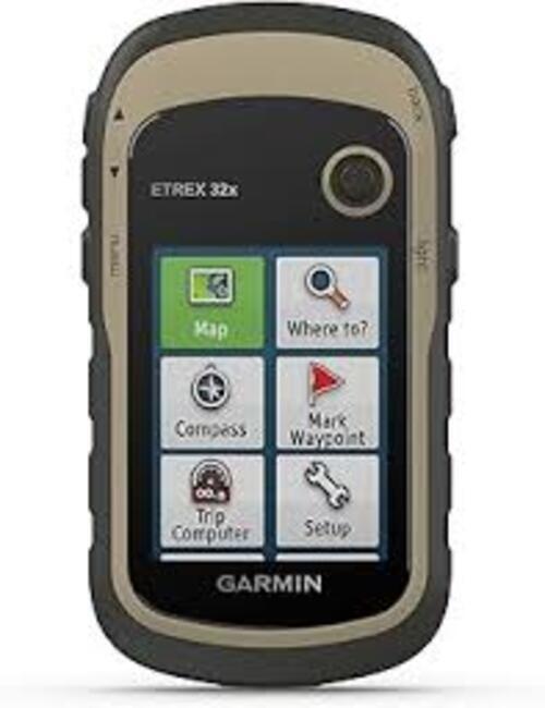
GARMIN eTrex 32x Rugged Handheld GPS with Compass and Barometric Altimeter

GARMIN eTrex 32x Rugged Handheld GPS with Compass and Barometric Altimeter

GPS Sensitivity : Highsensitivity, WAAS/EGNOSenabled receiver with HotFix and GLONASS support

Display : Other, 2.2 color, 240 x 320 pixels, sunlightreadable

Type : Other, Handheld GPS

Weight : 141.7 g (5 oz) with batteries

Features : 3axis compass, barometric altimeter, wireless sharing, IPX7 water resistance, topo map support, waypoint marking

Usage : Other, Outdoor navigation, trekking, hiking, geocaching

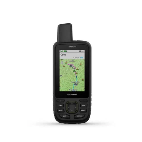
Garmin GPSMAP 66sr Handheld GPS

Garmin GPSMAP 66sr Handheld GPS

GPS Sensitivity : Highsensitivity, multiband GNSS with GPS, GLONASS, Galileo, QZSS and IRNSS support

Display : Other, 3inch sunlightreadable color display (240 x 400 pixels)

Type : Other, Handheld GPS device

Weight : Approx. 252 g with batteries

Features : TopoActive maps, multiband GNSS support, ABC sensors (altimeter, barometer, compass), geocaching live, smart notifications, waypoint navigation, rugged/waterresistant design (IPX7)

Usage : Other, Outdoor navigation, trekking, surveying, adventure activities

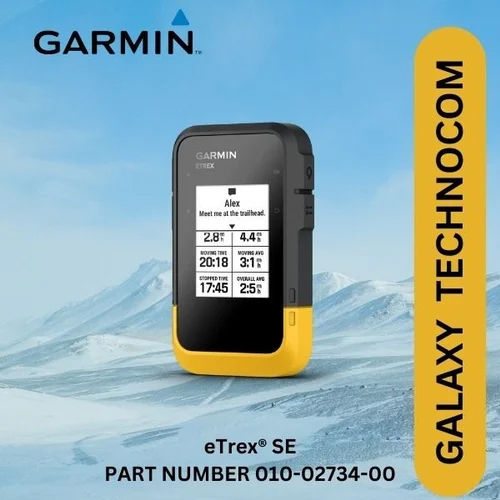
GARMIN eTrex SE GPS

GARMIN eTrex SE GPS

GPS Sensitivity : Highsensitivity receiver, supports GPS, GLONASS, Galileo, QZSS, Beidou

Display : Other, 2.2 Monochrome, 240 x 320 pixels

Type : Other, Handheld GPS

Weight : Approx. 140 g (with batteries)

Features : Track recording, waypoint storage, paperless geocaching, Bluetooth connectivity, weather support

Usage : Other, Navigation, hiking, trekking, geocaching

NAUTIZ X6 Handheld GIS Data Collector

NAUTIZ X6 Handheld GIS Data Collector

GPS Sensitivity : 167 dBm

Display : Other, 6inch Capacitive Multitouch, 1080 x 2160 pixels, Gorilla Glass

Type : Other, Rugged Android PDA

Weight : 490 g

Features : IP67 Waterproof & Dustproof, MILSTD810G Rugged, Integrated GNSS, Dual SIM, Front and Rear Camera

Usage : Other, Field Data Collection, Surveying, GIS Mapping


Back to top