GARMIN eTrex 32x Rugged Handheld GPS with Compass and Barometric Altimeter

GARMIN eTrex 32x Rugged Handheld GPS with Compass and Barometric Altimeter

Price 24900 INR/ Piece

MOQ : 1 Piece

GARMIN eTrex 32x Rugged Handheld GPS with Compass and Barometric Altimeter Specification

  • Interface Type
  • USB
  • Weight
  • 141.7 g (5 oz) with batteries
  • Usage & Applications
  • Hiking, geocaching, adventure sports, outdoor activities
  • Features
  • 3-axis compass, barometric altimeter, wireless sharing, IPX7 water resistance, topo map support, waypoint marking
  • Memory Size
  • 8 GB internal memory, microSD card slot (supports up to 32 GB)
  • Type
  • Handheld GPS
  • Usage
  • Outdoor navigation, trekking, hiking, geocaching
  • Function
  • Rugged handheld GPS navigation
  • Dimensions
  • 5.4 x 10.3 x 3.3 cm (2.1 x 4.0 x 1.3)
  • Network
  • Not applicable (standalone device)
  • GPS Accuracy
  • Typically less than 3 m (10 feet)
  • GPS Sensitivity
  • High-sensitivity, WAAS/EGNOS-enabled receiver with HotFix and GLONASS support
  • Battery Backup
  • Up to 25 hours (2 AA batteries)
  • Display
  • 2.2 color, 240 x 320 pixels, sunlight-readable
  • Frequency
  • Not specified (GPS/GLONASS signals)
  • Waypoints
  • 2000
  • Battery Type
  • 2 x AA (not included), NiMH or Lithium recommended
  • Geocaching
  • Paperless geocaching support
  • User Interface
  • Button based navigation
  • Barometric Altimeter
  • Yes
  • Compass
  • 3-axis electronic
  • Operating Temperature
  • -20°C to 70°C (-4°F to 158°F)
  • Display Type
  • Transflective TFT color
  • Routes
  • 200
  • Receiver Type
  • Multi-GNSS (GPS, GLONASS, Galileo)
  • Wireless Connectivity
  • ANT+ (sensor support, wireless sharing)
  • Track Log
  • 10,000 points, 200 saved tracks
  • Waterproof Rating
  • IPX7
  • Preloaded Maps
  • TopoActive maps with routable roads and trails


About GARMIN eTrex 32x Rugged Handheld GPS with Compass and Barometric Altimeter

+6Garmin+6T.REX ARMS+6
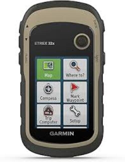
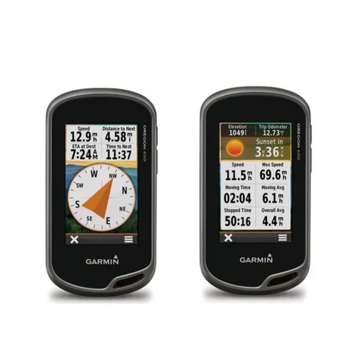
  • 3-Axis Compass & Barometric Altimeter: Garmin+2T.REX ARMS+2VPCivil+2

  • Sunlight-Readable Display: Outdoor With J+5T.REX ARMS+5Garmin+5

  • Robust Battery Life: Garmin+4VPCivil+4TheTriWorld+4

  • Expandable Storage: TheTriWorld+2Garmin+2VPCivil+2

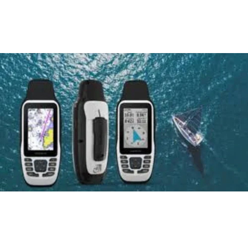
  • Waterproof Design: WhichSatNav+1Outdoor With J+1

  • Wireless Connectivity: VPCivil+5I-Run+5Garmin+5

  • Weight: I-Run+6T.REX ARMS+6TheTriWorld+6

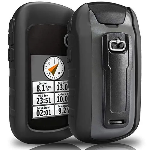
  • Display: Outdoor With J+5Garmin+5VPCivil+5

  • Battery Life: WhichSatNav+8Garmin+8VPCivil+8

  • Memory: WhichSatNav+7VPCivil+7Garmin+7

  • Waypoints: T.REX ARMS+4VPCivil+4TheTriWorld+4

  • Routes: WhichSatNav+6VPCivil+6T.REX ARMS+6

  • Track Log: T.REX ARMS+3VPCivil+3Garmin+3

  • Water Rating: IPX7 (waterproof)


Navigate with Confidence Anywhere

The GARMIN eTrex 32x GPS delivers reliable positioning by combining GPS, GLONASS, and Galileo satellite systems, ensuring accuracy even in challenging environments. The device comes preloaded with TopoActive maps, featuring routable roads and trails for outdoor navigation. Its high-sensitivity receiver and WAAS/EGNOS-enabled technology deliver consistent performance, making it a trustworthy companion for all your outdoor adventures.


Rugged and Ready for Adventure

Designed with a durable, waterproof (IPX7) casing and a compact form factor, the eTrex 32x is built for tough conditions. The transflective 2.2-inch color display remains readable even in sunlight, and the intuitive button-based interface ensures ease of operation, even with gloves. Whether you're hiking, trekking, or geocaching, this device stands up to the elements and keeps you on track.


Comprehensive Tracking and Sharing Features

With the capacity to store 2,000 waypoints, 200 routes, and 200 tracks of up to 10,000 points each, the eTrex 32x allows you to document your journeys in detail. ANT+ wireless support makes it simple to share data with other devices, while paperless geocaching capabilities streamline your treasure hunts. The 8GB internal memory and microSD card slot facilitate map expansion and storage for future adventures.

FAQ's of GARMIN eTrex 32x Rugged Handheld GPS with Compass and Barometric Altimeter:


Q: How do I power the GARMIN eTrex 32x and what batteries are recommended?

A: You can power the GARMIN eTrex 32x with two AA batteries (not included). For the best performance and longest battery life (up to 25 hours), NiMH or lithium AA batteries are recommended.

Q: What types of maps are preloaded on the eTrex 32x and can I add more?

A: The device comes preloaded with TopoActive maps of routable roads and trails, making it ideal for outdoor navigation. You can also expand the map selection by adding more via the 8 GB internal storage or microSD card slot (supports up to 32 GB).

Q: When should I use the built-in 3-axis compass and barometric altimeter?

A: The 3-axis electronic compass provides accurate directional information even when you are stationary, while the barometric altimeter helps track altitude changes and forecast weather trends. These features are especially useful for navigation and weather awareness during trekking or hiking.

Q: Where can I use the eTrex 32x, considering its waterproof rating and temperature range?

A: The eTrex 32x's rugged design (IPX7 waterproof rating) and wide operating temperature range (-20C to 70C) make it suitable for diverse environments including rain, snow, deserts, and high altitudes.

Q: What is the benefit of the multi-GNSS capability in the eTrex 32x?

A: The multi-GNSS capability (accessing GPS, GLONASS, and Galileo satellites) enhances position accuracy and reliability, especially in dense forests, deep valleys, or rugged terrains where a single system might struggle.

Q: How can I transfer or share waypoint and track data with others?

A: You can wirelessly share waypoints, tracks, and routes with compatible Garmin devices using the ANT+ wireless connectivity, making it easy to coordinate with friends or group members on joint outdoor adventures.

Q: What are the key usage scenarios for the eTrex 32x handheld GPS?

A: Ideal for hiking, trekking, adventure sports, and geocaching, the eTrex 32x helps you navigate unfamiliar trails, track outdoor activities, mark waypoints, and participate in paperless geocaching, all while ensuring durability and performance under tough conditions.

Tell us about your requirement
product

Price:

Quantity
Select Unit

  • 50
  • 100
  • 200
  • 250
  • 500
  • 1000+
Additional detail
Mobile number

Email

More Products in GARMIN GPS Handhelds Category

Garmin GPSMAP 66sr Handheld GPS

Garmin GPSMAP 66sr Handheld GPS

Weight : Approx. 252 g with batteries

Type : Other, Handheld GPS device

Network : Wireless connectivity via Bluetooth and WiFi

Usage : Other, Outdoor navigation, trekking, surveying, adventure activities

Dimensions : 6.2 x 16.3 x 3.5 cm

GPS Accuracy : Multiband GNSS for improved location accuracy, typically within a few meters

Garmin 64S GPS

Garmin 64S GPS

Weight : 230 g with batteries

Type : Other, Handheld GPS

Network : GPS, GLONASS

Usage : Other, Outdoor navigation, trekking, hiking, surveying

Dimensions : 6.1 x 16.0 x 3.6 cm

GPS Accuracy : 35 meters

GARMIN eTrex SE GPS

GARMIN eTrex SE GPS

Weight : Approx. 140 g (with batteries)

Type : Other, Handheld GPS

Network : N/A (uses satellite systems)

Usage : Other, Navigation, hiking, trekking, geocaching

Dimensions : 6.1 x 10.0 x 3.3 cm (2.4 x 3.9 x 1.3)

GPS Accuracy : Up to 3 meters under open sky

Garmin Etrex10 Handheld GPS

Garmin Etrex10 Handheld GPS

Weight : 141.7 g (5 oz) with batteries

Type : Other, Handheld GPS Device

Network : GPS & GLONASS

Usage : Other, Outdoor navigation, hiking, trekking, geocaching

Dimensions : 5.4 x 10.3 x 3.3 cm (2.1 x 4.0 x 1.3)

GPS Accuracy : Approx. 35 meters (CEP, 50%)


Back to top