About GARMIN 66SR GPS
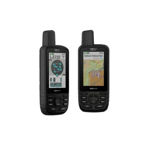
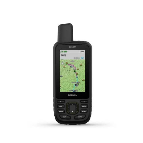
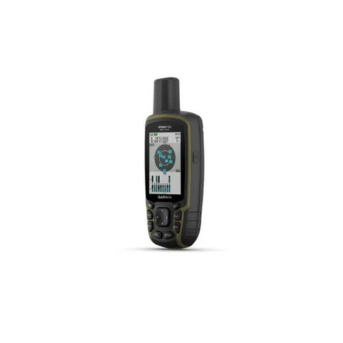
Find your path and capitalise on adventure with the celebrated GARMIN 66SR GPS. Equipped with unbeatable high-sensitivity multi-GNSS positioning (GPS, GLONASS, Galileo, QZSS, IRNSS), this handheld receiver delivers top precision up to 1 meter-even in challenging environments. Its robust, water-resistant (IPX7) design ensures splendiferous outdoor performance, while 16 GB storage (expandable with microSD), 2.6-inch color display, and wireless connectivity enable seamless map navigation. With support for up to 10,000 waypoints and 36-hour battery (expedition mode: 450 hours), this splendid companion is suited for hiking, geocaching, GIS, and surveying across India.
Unbeatable Competitive Advantages of GARMIN 66SR GPS
Experience top navigation technology with the GARMIN 66SR GPS. Multi-band GNSS delivers remarkably accurate positioning in tough environments, while the tilt-compensated compass and barometric altimeter offer precise orientation and elevation data. Celebrated mapping compatibility, including Garmin TopoActive and BirdsEye Satellite imagery, enhances any outdoor expedition. Unyielding water resistance and rugged construction make it ideal for fieldwork, and with up to 10,000 waypoints and extensive track logging, the GARMIN 66SR stands out for both professionals and adventure seekers.
GARMIN 66SR GPS: Delivery Time, Markets & Export Ports
Your quotation for the GARMIN 66SR GPS ensures competitive pricing with prompt responses. Upon order confirmation, the product is delivered within agreed timelines to main export markets, including Asia, Europe, and North America. GARMIN 66SR units are securely shipped via well-established Indian FOB ports, ensuring smooth transit and reliable delivery. Buyers can rest assured that each GPS unit reaches its destination following rigorous packaging standards and excellent shipping coordination.
FAQ's of GARMIN 66SR GPS:
Q: How accurate is the GARMIN 66SR GPS in diverse outdoor conditions?
A: The GARMIN 66SR features high-sensitivity, multi-band GNSS which ensures accuracy up to 1 meter, even in dense forests or mountainous regions.
Q: What mapping features are supported by the GARMIN 66SR GPS?
A: This device supports Garmin TopoActive maps, and BirdsEye Satellite Imagery (subscription required), providing detailed and versatile mapping options for navigation and survey tasks.
Q: When can buyers expect delivery after placing an order for the GARMIN 66SR GPS?
A: Delivery times are determined during quotation and order confirmation, with most shipments dispatched promptly from major Indian FOB ports for efficient delivery.
Q: Where can the GARMIN 66SR GPS be efficiently utilised?
A: It's ideal for hiking, trekking, geocaching, GIS data collection, navigation, and surveying-making it suitable for outdoor professionals and enthusiasts alike.
Q: What are the primary benefits of the GARMIN 66SR GPS for users?
A: Users benefit from its unbeatable positioning accuracy, durable water-resistant (IPX7) build, long battery backup, and extensive onboard storage, ensuring reliable performance during extended expeditions.
Q: How can waypoints and tracks be managed on the GARMIN 66SR GPS?
A: The device allows you to save up to 10,000 waypoints, 250 routes, and 20,000 track log points, facilitating comprehensive location tracking and easy data management through its interface.




 Send Inquiry


 Send Inquiry