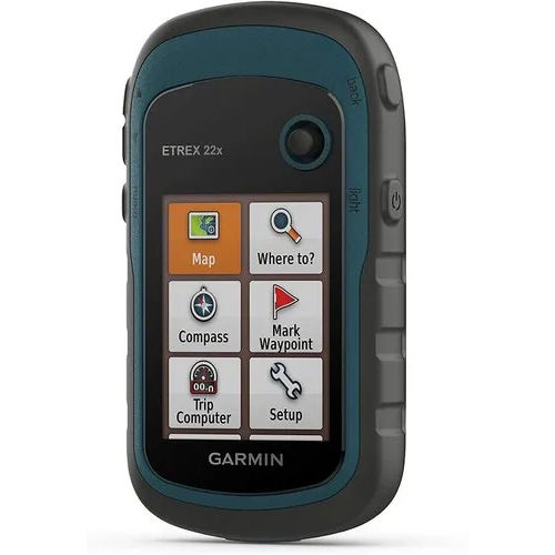
GARMIN 22X Rugged Handheld GPS

GARMIN 22X Rugged Handheld GPS

GARMIN 22X Rugged Handheld GPS Specification

  • Weight
  • 141.7g (with batteries)
  • Usage & Applications
  • Field data collection, hiking, expeditions, hunting, outdoor professional use
  • Memory Size
  • Internal memory plus microSD card slot (card not included)
  • Features
  • Waterproof (IPX7), rugged design, waypoint and route navigation, worldwide basemap, paperless geocaching
  • Interface Type
  • Mini USB
  • Type
  • Rugged handheld GPS device
  • Usage
  • Hiking, trekking, adventure, surveying
  • Function
  • Outdoor navigation and tracking
  • Dimensions
  • 5.4 x 10.3 x 3.3 cm
  • Network
  • GPS, GLONASS support
  • GPS Accuracy
  • Typical: <10 m
  • GPS Sensitivity
  • High-sensitivity GPS and GLONASS receivers
  • Battery Backup
  • Up to 25 hours (2 x AA batteries, not included)
  • Display
  • 2.2 transflective, 240 x 320 pixels, sunlight-readable, color display
  • Area Calculation
  • Yes
  • Track Log
  • 10,000 points, 200 saved tracks
  • Battery Type
  • 2 AA batteries (NiMH or Lithium recommended)
  • Waypoints
  • 2,000
  • Barometric Altimeter
  • No
  • Trip Computer
  • Yes
  • Electronic Compass
  • No
  • User Interface
  • Button based
  • Routes
  • 200
  • BaseMap
  • Yes (preloaded worldwide basemap)
  • Operating Temperature Range
  • -20C to 70C
  • Water Rating
  • IPX7
  • Languages Supported
  • Multi-language
  • Custom Maps Compatible
  • Yes
  • Mounting Options
  • Handheld, carabiner clip
  • Unit-to-unit Transfer
  • Yes (with compatible devices)
  • Paperless Geocaching
  • Yes


About GARMIN 22X Rugged Handheld GPS


Discover the latest GARMIN 22X Rugged Handheld GPS, a sterling navigation device renowned for reliability at an unbeatable price. Designed for adventure, it combines a lofty IPX7 waterproof rating and high-sensitivity GPS/GLONASS for accurate tracking in all conditions. With 2,000 waypoints, 200 routes, and customizable mapping features, it stands as the best price option for hikers, trekkers, and field professionals. Benefit from a crisp sunlight-readable color display, massive storage, robust construction, and legendary Garmin user-friendliness for unrivaled performance across India.

Precision Tool for Outdoor Professionals and Adventurers

The GARMIN 22X Rugged Handheld GPS is engineered for demanding outdoor activities such as hiking, surveying, and expeditions. Renowned for accuracy and robust design, it is used extensively by outdoor enthusiasts, hunters, and field professionals. Its special features include paperless geocaching, waypoint and route navigation, world basemap, and high-sensitivity GPS/GLONASS support. Button-based operation and a compact form ensure effortless use even in challenging terrains or adverse weather.


Efficient Shipment & Secure Packaging Policy

Our sample policy for the GARMIN 22X ensures quick dispatch and seamless drop-off to meet project timelines. Each device is packaged securely in durable, industry-standard cartons to preserve integrity during transit. We ship via leading partners to guarantee prompt and reliable shipment, with FOB port options available across major Indian ports for bulk orders. Partners can trust our streamlined logistics and fast delivery for urgent requirements.


FAQ's of GARMIN 22X Rugged Handheld GPS:


Q: How does the GARMIN 22X GPS device benefit outdoor professionals?

A: The GARMIN 22X offers highly accurate GPS/GLONASS tracking, an IPX7 waterproof rating, massive waypoint storage, and robust mapping capabilities-making it ideal for hiking, surveying, and fieldwork.

Q: What are the main features of the GARMIN 22X that set it apart?

A: It features a sunlight-readable color display, worldwide basemap, paperless geocaching, area calculation, unit-to-unit transfer, and up to 25 hours of battery backup on 2 AA batteries.

Q: Where can the GARMIN 22X be mounted or carried during expeditions?

A: The device is designed for versatility-it can be handheld or attached via the included carabiner clip, making it convenient for trekking, climbing, or professional surveys.

Q: What is the process for ordering and receiving a sample GARMIN 22X unit?

A: Samples are dispatched quickly; orders are securely packed and shipped via reliable partners. Drop-off and FOB shipment options are available across major Indian ports, ensuring timely delivery.

Q: When should one use the GARMIN 22X GPS device?

A: Use the GARMIN 22X when you require reliable navigation and tracking during field data collection, hiking, expeditions, or any outdoor professional activity where durability and precision matter.

Tell us about your requirement
product

Price:

Quantity
Select Unit

  • 50
  • 100
  • 200
  • 250
  • 500
  • 1000+
Additional detail
Mobile number

Email

More Products in GARMIN GPS Handhelds Category

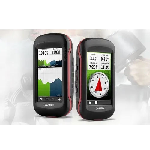
Garmin Montana 680 GPS

Garmin Montana 680 GPS

Type : Other, Handheld GPS device

Weight : 289 g with batteries

Usage : Other, Outdoor handheld GPS for hiking, trekking, geocaching, driving, and boating

Dimensions : 2.9 x 5.7 x 1.4 (7.48 x 14.42 x 3.64 cm)

Network : No cellular; communicates via USB and microSD

Usage & Applications : Outdoor adventure, navigation, mapping, surveying, geocaching

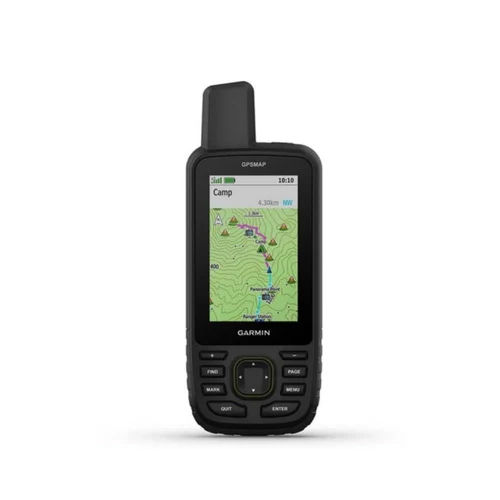
GARMIN MAP 67 GPS

GARMIN MAP 67 GPS

Type : Other, Handheld GPS Navigator

Weight : 230 g with batteries

Usage : Other, Outdoor activities, trekking, hiking, and surveying

Dimensions : 6.2 x 16.3 x 3.5 cm

Network : MultiGNSS support: GPS, GLONASS, Galileo, QZSS, and IRNSS

Usage & Applications : Navigation, mapping, tracking routes, waypoint marking, adventure planning

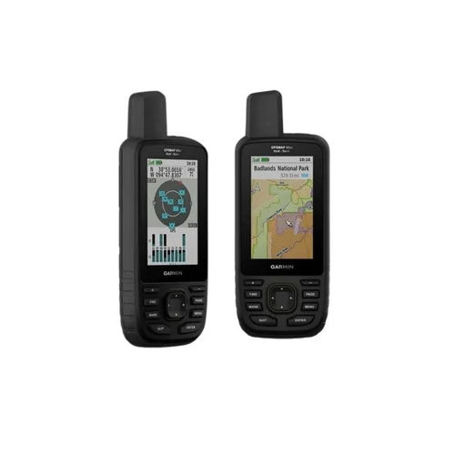
GARMIN 66SR GPS

GARMIN 66SR GPS

Type : Other, Handheld Multiband GPS

Weight : 217 g (with batteries)

Usage : Other, Navigation, surveying, outdoor activities, mapping

Dimensions : 6.2 x 16.3 x 3.5 cm (2.4 x 6.4 x 1.4)

Network : No cellular, GNSS satellite connectivity

Usage & Applications : Hiking, trekking, geocaching, GIS data collection, navigation

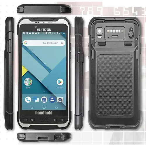
NAUTIZ X6 Handheld GIS Data Collector

NAUTIZ X6 Handheld GIS Data Collector

Type : Other, Rugged Android PDA

Weight : 490 g

Usage : Other, Field Data Collection, Surveying, GIS Mapping

Dimensions : 192 mm x 92 mm x 14.6 mm

Network : 4G LTE, WiFi 802.11 a/b/g/n/ac, Bluetooth 4.2

Usage & Applications : GIS Survey, Forestry, Environmental Monitoring, Construction, Asset Management


Back to top