
Talk to us
07971258332
Talk to us
07971258332
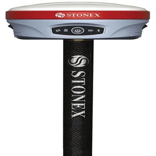
Stonex S900A GNSS Receiver
The Stonex S900A GNSS Receiver is an advanced, high-precision surveying instrument designed to deliver centimeter-level accuracy for land surveying, construction, mapping, and GIS applications. Equipped with a powerful multi-constellation tracking system (GPS, GLONASS, Galileo, BeiDou), the S900A can track numerous satellite signals simultaneously, ensuring reliable performance even in challenging environments.
This compact yet rugged receiver features an integrated IMU tilt sensor for faster and more flexible data collection, eliminating the need to level the pole. Built to withstand harsh conditions, it is IP67-rated for dust and water resistance. Seamless data transfer is enabled via Bluetooth, Wi-Fi, and integrated UHF radio, making real-time communication and remote control straightforward. With its user-friendly design, enhanced connectivity options, and exceptional accuracy, the Stonex S900A is the ideal solution for professionals who require efficiency, reliability, and superior performance in their daily surveying tasks.

Price:
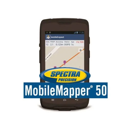
Features : Rugged, IP65 rated, integrated camera, scalable positioning
GPS Accuracy : Centimeter to submeter level, depending on configuration
Dimensions : 25 x 12 x 7 cm
Network : WiFi, Bluetooth, Cellular (4G LTE)
Usage & Applications : GIS data collection, surveying, environmental monitoring
Display : Other, 5.3 HD touch screen, sunlight readable
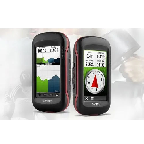
Features : 3axis compass, barometric altimeter, 8 MP camera, geotagging, touchscreen, IPX7 water rating
GPS Accuracy : < 10 meters with WAAS enabled
Dimensions : 2.9 x 5.7 x 1.4 (7.48 x 14.42 x 3.64 cm)
Network : No cellular; communicates via USB and microSD
Usage & Applications : Outdoor adventure, navigation, mapping, surveying, geocaching
Display : Other, 4inch sunlightreadable, dualorientation, color touchscreen
Features : 3axis compass, barometric altimeter, IPX7 waterproof, geotagging with integrated 3.2MP camera, sunlightreadable touchscreen
GPS Accuracy : <10 meters (95%)
Dimensions : 2.3 x 4.5 x 1.4 (58 x 114 x 35 mm)
Network : No cellular; GPS/GLONASS via satellite
Usage & Applications : Outdoor exploration, hunting, geocaching, field mapping
Display : Other, 2.6 transflective, 65K color TFT, touchscreen (160 x 240 pixels)
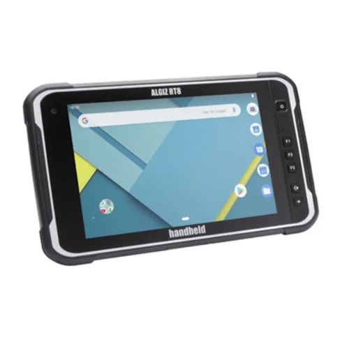
Features : IP67 rated, MILSTD810G, Glove and Rain Touch, Integrated GPS, Rear and Front Cameras
GPS Accuracy : 2.5 m CEP
Dimensions : 232 mm x 145 mm x 14 mm
Network : 4G LTE, WiFi 802.11 a/b/g/n/ac, Bluetooth 5.0
Usage & Applications : GIS, Mining, Forestry, Construction, Utilities, Field Service
Display : Other, 8 capacitive multitouch (800 x 1280) sunlightreadable


 Send Inquiry


 Send Inquiry